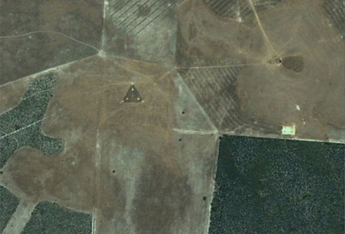

Landsat GeoCover is an orthorectified product with known absolute positional accuracy of less than 50 meters root-mean-squared error (RMSE). To increase the scientific utility of this archive, we address horizontal positional accuracy (georegistration) by comparing Google Earth with Landsat GeoCover scenes over a global sample of 436 control points located in 109 cities worldwide. This contemporary high-resolution archive represents a significant, rapidly expanding, cost-free and largely unexploited resource for scientific inquiry.


Google Earth now hosts high-resolution imagery that spans twenty percent of the Earth's landmass and more than a third of the human population.


 0 kommentar(er)
